

Last updated October 28, 2026
Kennesaw Mountain is the best mix of a real hike and real history in metro Atlanta. In just over a mile you climb through rocky woods to a summit lined with Civil War cannons and earthworks, with a view that stretches south toward the Atlanta skyline. It's about 30 minutes northwest of downtown, right by Marietta, and it's one of the most popular hikes around the city.
This guide covers the summit trail from the Visitor Center, what you'll see at the top, what happened here in 1864, parking and the shuttle, when to go and the mistakes to avoid.
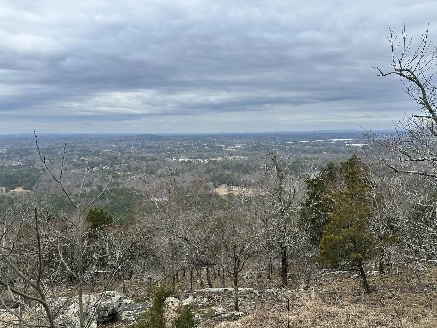
The view from the top of Kennesaw Mountain on a cloudy winter day.
Kennesaw Mountain at a Glance
Where: Kennesaw Mountain National Battlefield Park, Visitor Center at 900 Kennesaw Mountain Drive, Kennesaw, GA 30152
Summit trail: 1.1 miles each way from the Visitor Center, about 2.2 miles round trip
Elevation gain: About 700 feet to a summit of roughly 1,808 feet
Time: About 45 minutes to an hour up, and less coming down
Difficulty: Moderate. It's steep and rocky in spots, with switchbacks and benches.
Parking: $5 per car per day or $40 for an annual pass. Card only, no cash.
Park hours: 6:30 a.m. to 6:30 p.m. November through early March, and later in the summer. The Visitor Center is open 9 a.m. to 5 p.m.
Dogs: Allowed on the trails on a 6-foot leash
Restrooms: Only at the Visitor Center, so go before you start
Phone: 770-427-4686
The Summit Trail: From the Visitor Center to the Top
The hike starts right at the Visitor Center. Walk out the front door, turn left on the wide sidewalk, cross the mountain road at the crosswalk, and the trailhead is straight across. From there, signs and mile markers take you all the way to the top.
The trail climbs steadily through the woods on a mix of dirt, roots and rock. There are stone steps and a split-rail fence along some of the steeper switchbacks, and benches if you need a breather.
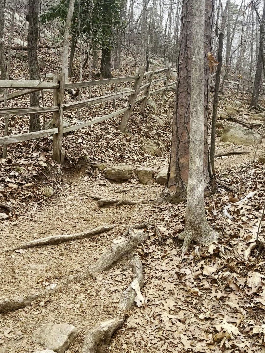
A split-rail fence lines some of the steeper switchbacks.
It doesn't let up much, but the switchbacks keep the grade manageable. Take your time on the rocky stretches, especially coming back down, when loose rock and leaves can be slick.
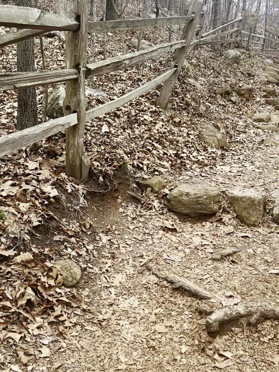
Stone steps and roots on the climb.
Along the way, the woods open up around huge lichen-covered boulders. It's one of the coolest parts of the hike and a good excuse to stop for a minute.
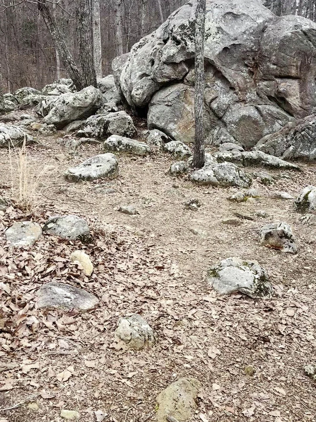
Huge lichen-covered boulders along the trail.
The Overlook and the Summit
Near the top, the trail crosses the paved road and the upper parking area, where there's an open grassy overlook with a view south over Marietta and toward Atlanta. A lot of people stop here, but keep going. The true summit is a short climb farther, past the stone viewing station, and the view there is better.
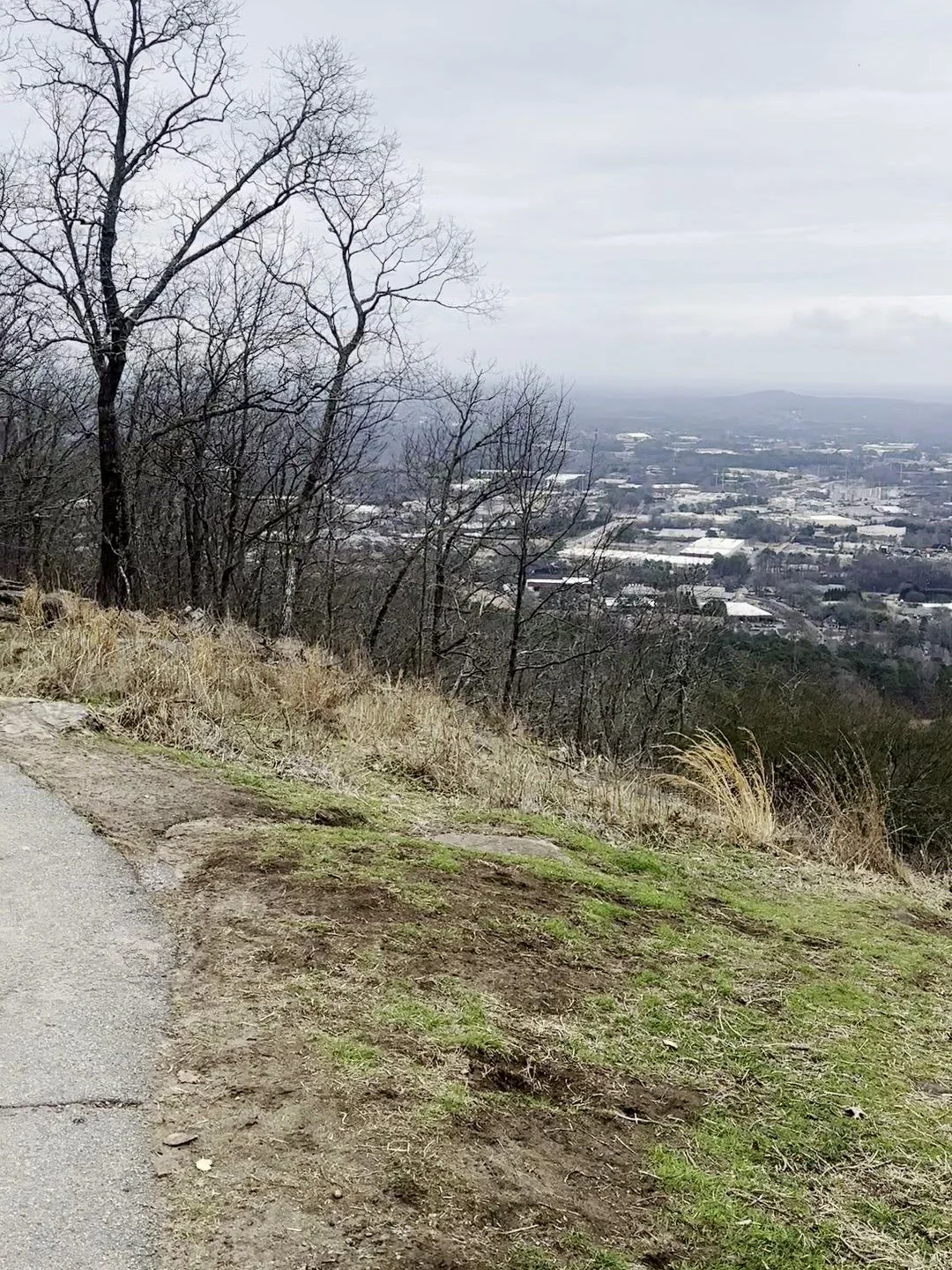
The grassy overlook by the paved path near the top.
From the overlook you can see how high above the suburbs you are. On a clear day, the Atlanta skyline sits on the horizon to the southeast.
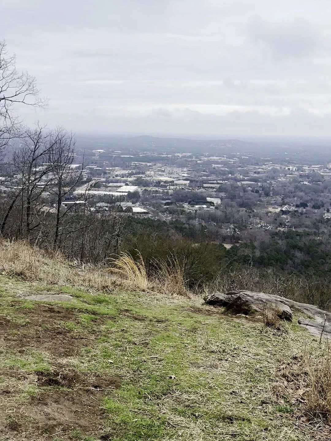
Looking out toward Marietta and Atlanta from the overlook.
At the summit, a dirt path runs along the old Confederate earthworks, low mounds of dirt and rock that soldiers dug in 1864. Cannons sit along the line where the artillery once was. Stay on the trail and off the earthworks, since they're original and fragile.
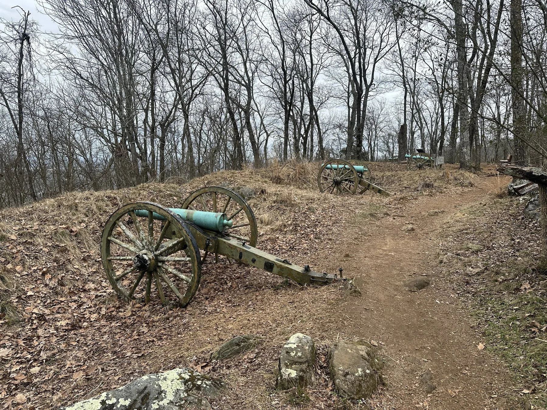
Cannons along the Confederate earthworks on the summit.
The rocky summit drops away to a wide view over the trees. In winter, with the leaves down, you can see for miles in almost every direction, and on a clear day you can pick out the North Georgia mountains on the horizon to the north.
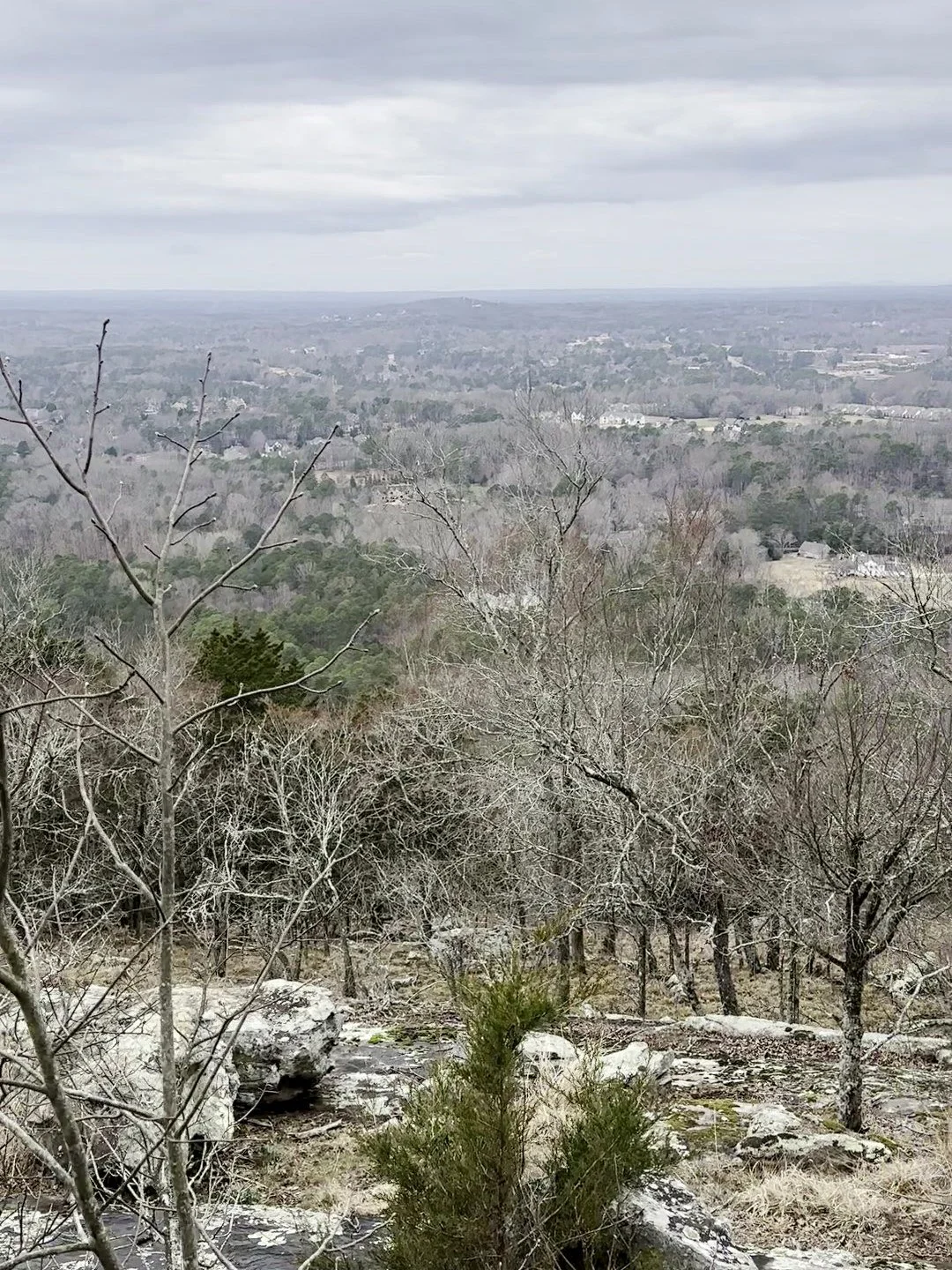
The rocky summit and the view over bare winter trees.
What Happened at Kennesaw Mountain
In the summer of 1864, Union General William T. Sherman was pushing toward Atlanta, and Confederate General Joseph E. Johnston dug in along Kennesaw Mountain to block him. On June 27, 1864, Sherman launched a direct assault on the Confederate lines. It failed, with heavy Union losses, especially at Pigeon Hill and Cheatham Hill.
Sherman went back to flanking the Confederate position instead, and Johnston withdrew a few days later. Atlanta fell that September. Today the battlefield is a national park of nearly 3,000 acres with more than 20 miles of trails, and the Visitor Center has a museum and film that are worth a stop before or after your hike.
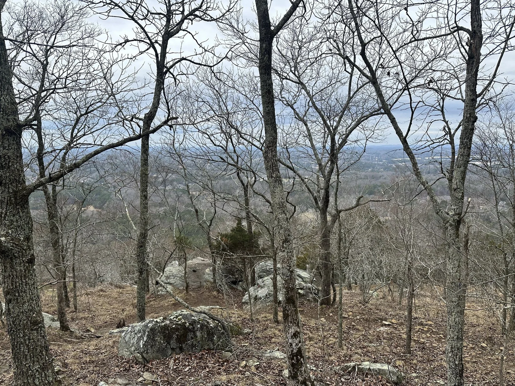
In winter, the bare trees open up views from the slopes.
Hiking vs. the Shuttle
If you'd rather not hike up, there's a free shuttle from the Visitor Center that runs every day, usually every half hour from late morning into the afternoon. You still pay for parking, dogs aren't allowed on the shuttle, and from the top drop-off you still have a short, steep walk past the stone viewing station to reach the summit.
The road to the top has historically been open to cars on weekdays only. The park's hours page now says it's closed to personal vehicles as of January 2026, so check the park's website before you plan on driving up.
I'd still hike it. The trail is only a mile, and the boulders and switchbacks are half the fun.
Longer Hikes at Kennesaw Mountain
Little Kennesaw Mountain: Keep going past the summit and the trail continues along the ridge to Little Kennesaw, about 1.8 miles from the Visitor Center, with more cannons and views.
Pigeon Hill: About 2.5 miles out, with Confederate trenches from the battle.
Cheatham Hill: The site of some of the fiercest fighting and the Illinois Monument, about 5.4 miles from the Visitor Center.
The full loop: The park's long loop runs about 11 miles round trip for a full day on the battlefield.
When to Visit Kennesaw Mountain
Winter: Bare trees mean wide-open views from the top and fewer crowds. The summit runs 8 to 10 degrees cooler than the base, so bring a layer, and watch for ice on cold mornings.
Spring and fall: The best hiking weather, and the busiest time. Fall color on the ridge is great in late October and early November.
Summer: Hot and humid. Go first thing in the morning and bring more water than you think you need.
Weekends are packed, and the Visitor Center lot fills up early. A weekday morning is the easiest time to park and get the summit to yourself.
Mistakes to Avoid
Skipping the restroom. The only restrooms are at the Visitor Center.
Bringing cash for parking. The fee machines and Visitor Center take cards only, or you can buy a pass online.
Stopping at the parking lot overlook. The real summit, with the cannons and the better view, is a short climb past it.
Climbing on the earthworks. They're original Civil War fortifications. Stay on the trail.
Wearing slick shoes. The trail is rocky and rooty, and wet leaves make the descent slippery.
Showing up late on a weekend. The main lot fills fast. Arrive early or use the overflow lot.
How to Get to Kennesaw Mountain
Kennesaw Mountain is just west of I-75 between Marietta and Kennesaw, about 30 minutes northwest of downtown Atlanta without traffic. Put "Kennesaw Mountain National Battlefield Park Visitor Center" or 900 Kennesaw Mountain Drive into your map. If the Visitor Center lot is full, the Old 41 overflow lot is nearby.
Frequently Asked Questions
How long is the hike up Kennesaw Mountain?
The summit trail is 1.1 miles each way from the Visitor Center, about 2.2 miles round trip, with about 700 feet of climbing.
How long does it take to hike Kennesaw Mountain?
Most people reach the top in 45 minutes to an hour. Plan on about 2 hours round trip with time at the summit.
Is the Kennesaw Mountain hike hard?
It's moderate. It's short but steep and rocky in places. Most people with average fitness can do it with a few breaks.
Does it cost money to hike Kennesaw Mountain?
Parking is $5 per car per day or $40 for an annual pass, paid by card at the fee machines, at the Visitor Center or online.
Can you drive to the top of Kennesaw Mountain?
The road has historically been open to cars on weekdays only, but the park says it's closed to personal vehicles as of January 2026. A free shuttle runs from the Visitor Center every day. Check the park's site for the current status.
Are dogs allowed on Kennesaw Mountain?
Yes, on a leash no longer than 6 feet. Dogs aren't allowed on the shuttle or in the Visitor Center.
Can you see Atlanta from Kennesaw Mountain?
Yes. On a clear day the Atlanta skyline is visible from the overlook and the summit.
Make It a Full Day
Kennesaw Mountain pairs well with lunch on the Marietta Square, about 10 minutes away. For more summit hikes around the metro, read my Stone Mountain Walk-Up Trail guide and my Arabia Mountain guide. For creek trails and mill ruins instead of a summit, see my Sweetwater Creek State Park guide. For more close-to-home trips, see my Metro Atlanta outdoors guides, or use Find a Trip to filter every guide by drive time and difficulty.
Want to hike with a group? The Explore Georgia Hiking Club runs free group hikes around Georgia, and every pace is welcome.