

Last updated October 28, 2026
Sweetwater Creek State Park is the closest thing metro Atlanta has to a mountain hike. Twenty-five minutes from downtown, you can be standing on a rock ledge over whitewater rapids, looking at the brick shell of a five-story mill that Union troops burned in 1864. Most people walk half a mile to the ruins, take a picture and leave. That's a great first visit, but it's maybe a third of what this park has.
This guide covers everything you need: which trail to pick, what happened at the mill, what parking costs now, where the overlooks are, what you can rent on the lake, where to sleep, and the mistakes that trip up first-timers.
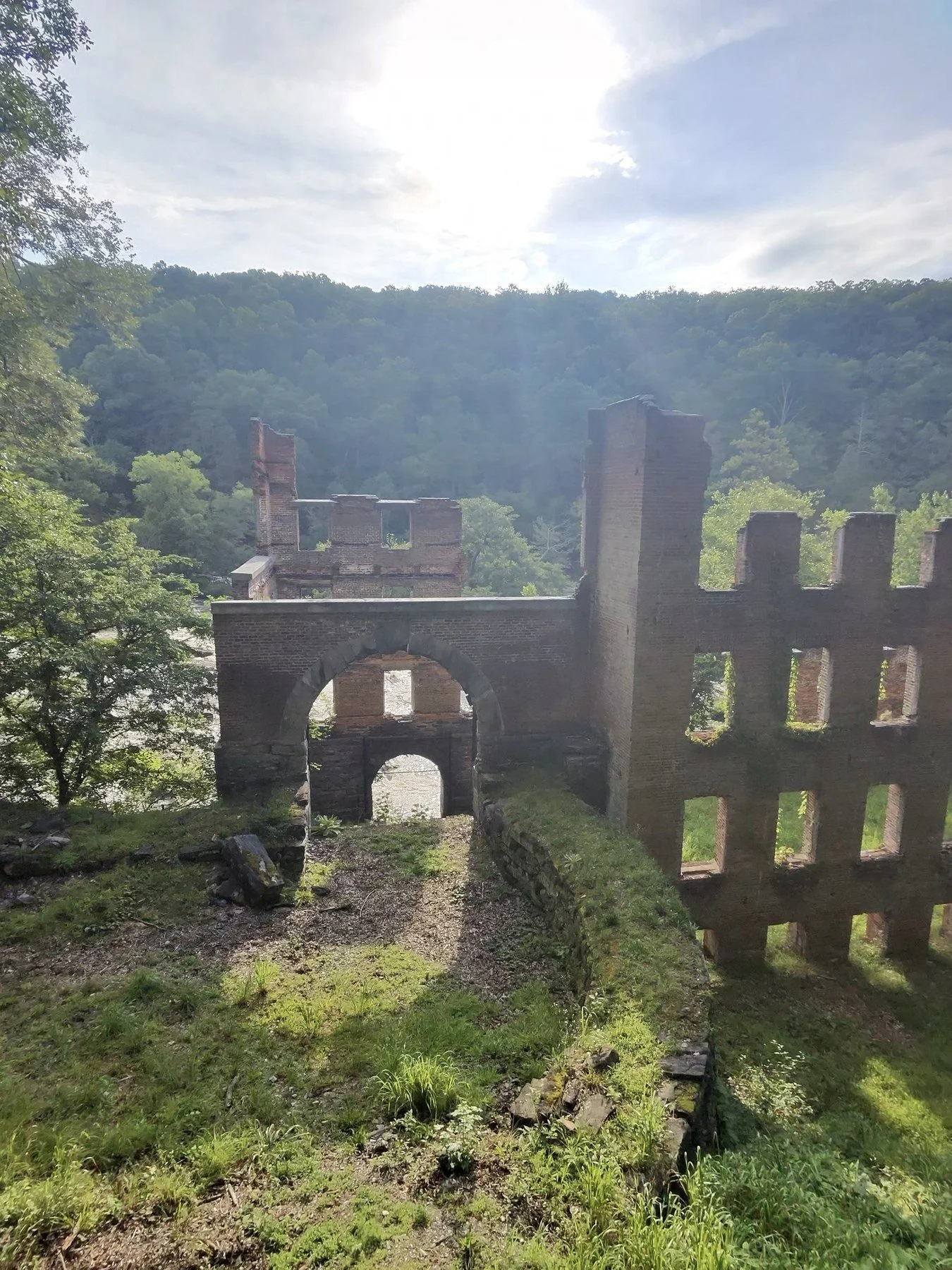
The New Manchester mill ruins
Sweetwater Creek State Park at a Glance
Where: 1750 Mount Vernon Road, Lithia Springs, GA 30122 (Douglas County), about 25 minutes west of downtown Atlanta off I-20
Hours: 7 a.m. to dark every day. The Interpretive Center and park office are open 9 a.m. to 5 p.m.
Parking: $10 per car per day, or $70 for an annual Georgia State Parks ParkPass that covers every state park
Size: 2,549 acres, including the 215-acre George H. Sparks Reservoir
Trails: About 15 miles, from an easy half mile to the mill ruins to a 5-mile loop through the backcountry
Best for: First-time hikers, history fans, families with kids who can handle some rocks, and anyone who wants big water without the drive north
Dogs: Allowed on trails on a leash, but not inside the yurts or on the ranger-led mill tours
Phone: 770-732-5871
Why Sweetwater Creek Feels Like the Mountains
Sweetwater Creek runs along the Brevard Fault, a geologic seam that gives this stretch of west metro steep banks, rock outcrops and fast water. Near the mill, the creek drops through about a mile of shoals and rapids, some rated up to Class IV. Add in mountain laurel and hardwood forest, and it looks more like Rabun County than Douglas County.
That's why the park gets crowded. It's the easiest "real" hike for a lot of Atlanta, and on a sunny Saturday the main lot fills by late morning. More on how to beat that below.
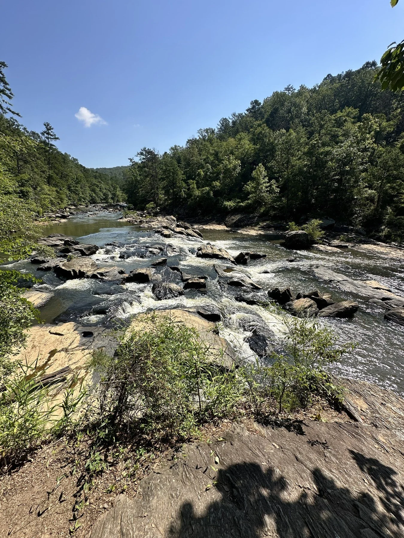
Rapids along the Red Trail
The History: New Manchester Mill and the Women Who Ran It
The ruins aren't just a pretty backdrop. They're one of the strangest stories of the Civil War in Georgia.
Construction started in 1846, with enslaved workers making the bricks on site. You can still see the brick pits from the Yellow Trail in winter. The mill started running on December 21, 1849, and by 1860 the New Manchester Manufacturing Company was turning about 700 pounds of cotton a day into yarn and osnaburg cloth. At five stories, it was one of the most modern mills in the region and the center of a small company town.
By 1864, the men of New Manchester were off fighting for the Confederacy, so the mill was run almost entirely by women and children, about 600 of them. On July 9, 1864, under orders from General William T. Sherman, Union troops burned the mill and the company store to keep it from supplying the Confederate army.
What happened next is the part most people never hear. The mill workers were arrested, held in Marietta, and shipped north by train to Louisville, Kentucky, and into Indiana. Many died from hunger or exposure. Most of the survivors stayed in the North, and only a handful ever made it back. New Manchester was never rebuilt.
Today the Douglas County History Trail marks the site, and the Interpretive Center has a small museum on the mill, the town and the Native Americans who lived along this creek long before any of it.
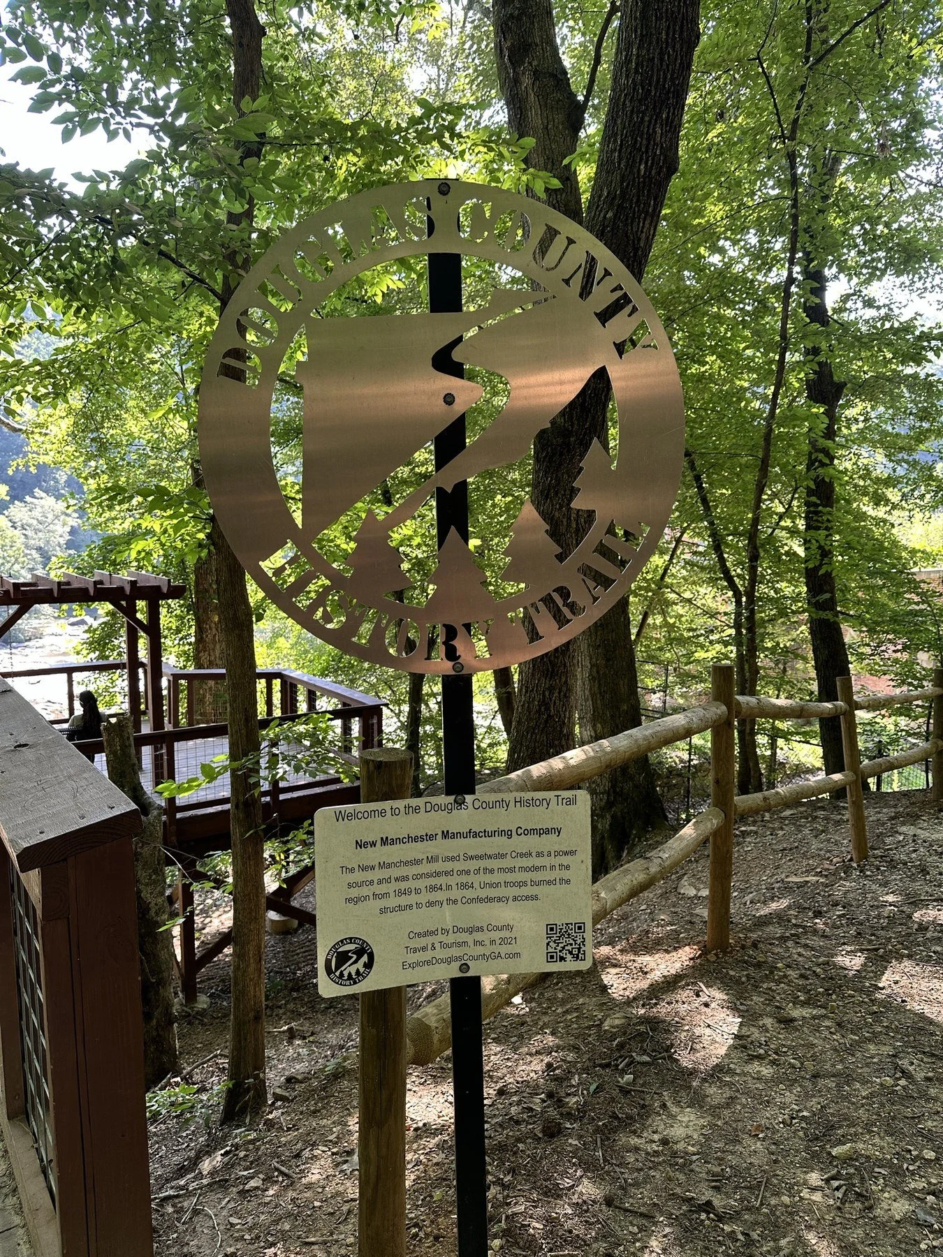
The Douglas County History Trail sign
Fun fact: The ruins were a filming location for The Hunger Games: Mockingjay Part 1. Fans still come just for that.
Can You Go Inside the Mill Ruins?
Not on your own. The ruins are fenced, and the interior is closed to everyone except people on ranger-led guided hikes, school field trips and special events. You can still hike right up to them and see the walls, the arched doorways and the window frames from the trail and the overlooks.
If you want to stand inside, look for the park's Inside the Ruins guided hikes on the Georgia State Parks events calendar. They're about 1.5 hours, cover about a mile, and are usually held on weekend mornings. Wear closed-toe shoes. Strollers and dogs aren't allowed on these tours.
The Overlooks: Best Views of the Ruins
You don't have to climb on anything to get the shot. Next to the ruins, a wide, curved deck with railings and benches looks out over the mill walls with the creek valley behind them. It's flat, easy to reach and the best spot for a family photo.
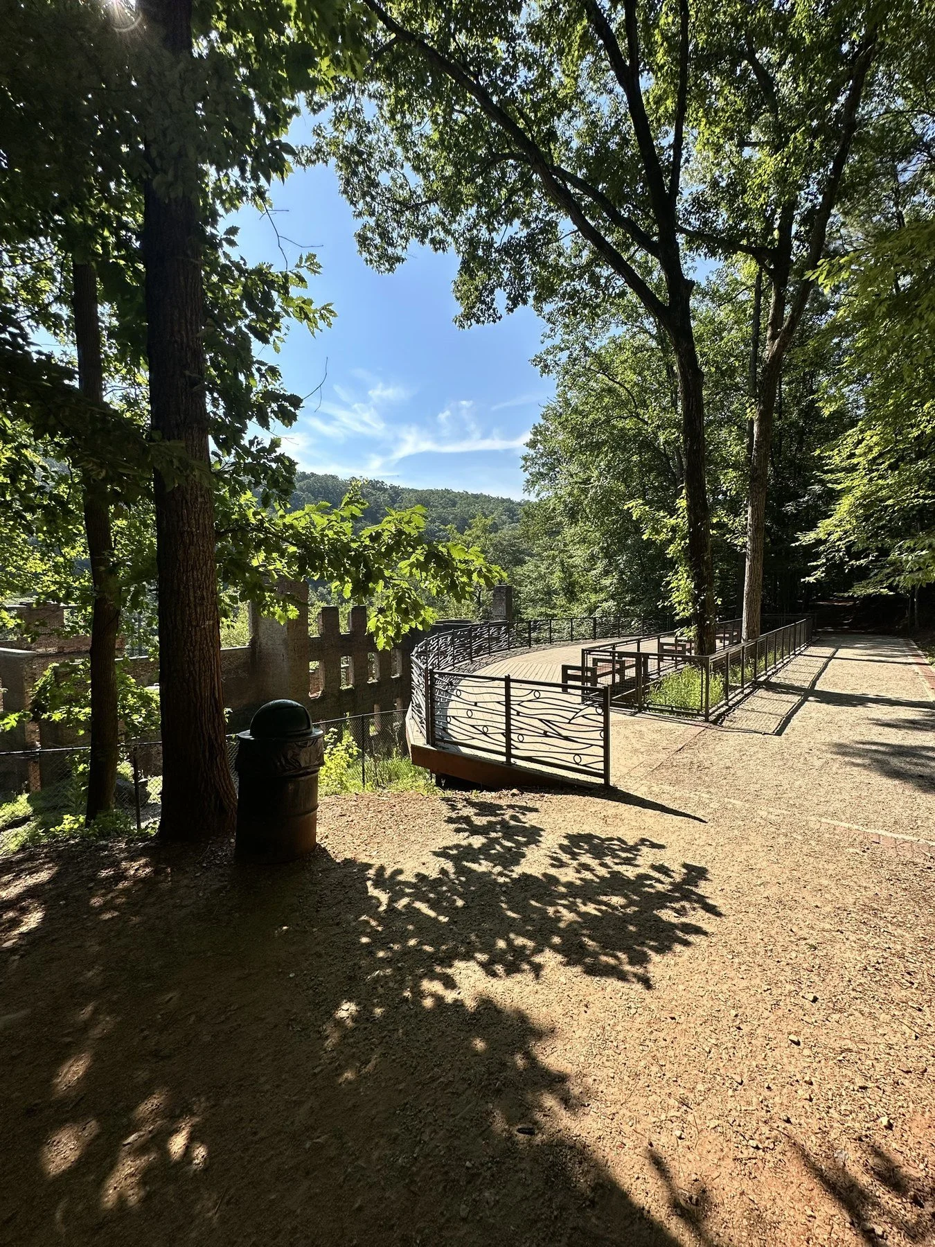
The mill ruins from the overlook deck
The park also has a cable-supported overlook platform that juts out over the trees toward the creek. Look down, and you'll see whitewater through the leaves.
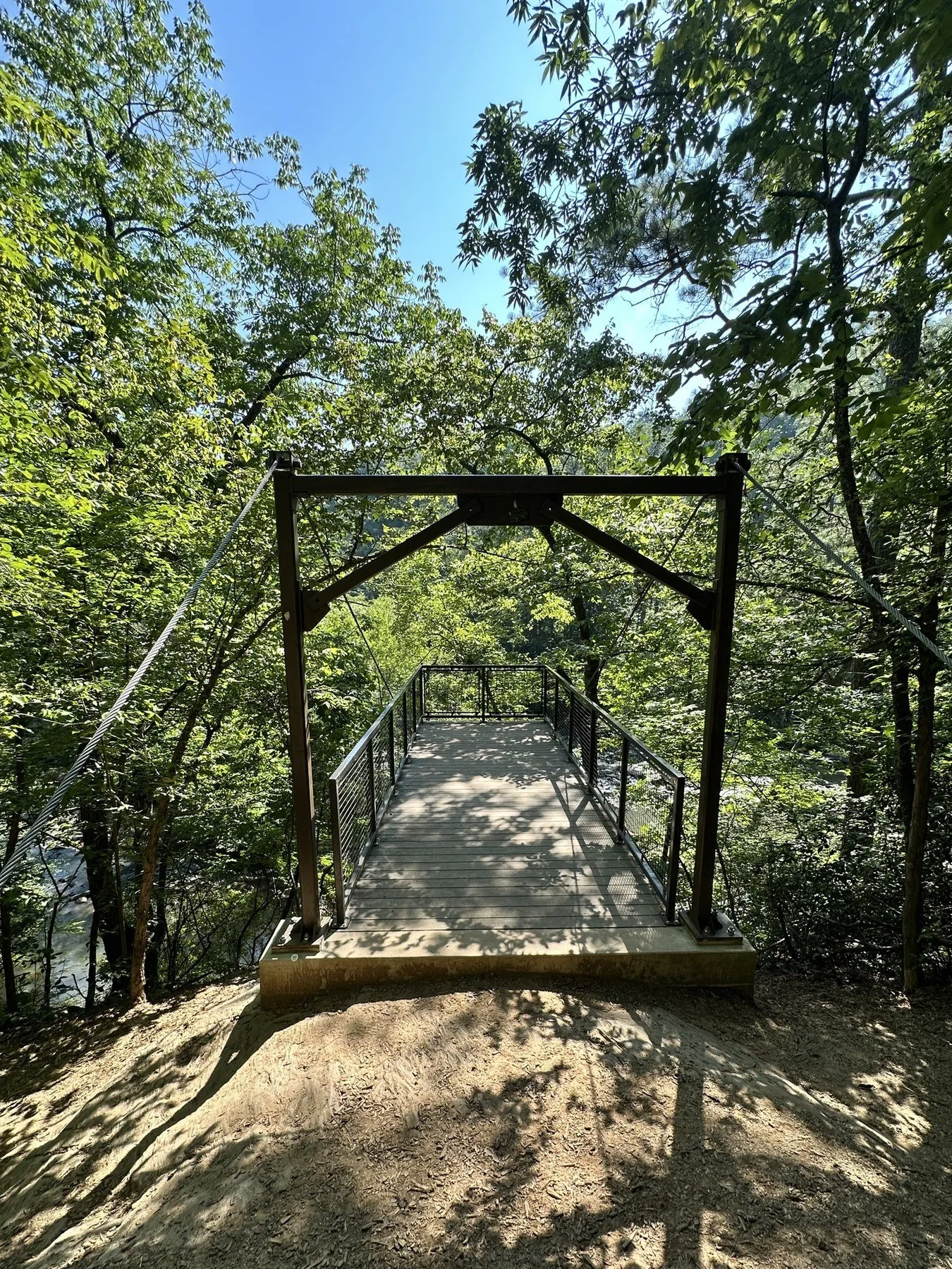
The overlook platform above the creek
Every Sweetwater Creek Trail, Compared
Here's the full lineup from the park's current trail map. Every trail starts at the Interpretive Center lot.
Red (History) Trail: 1 mile one way, easy for the first half mile to the ruins, then rocky and difficult. Best for: first-timers and anyone short on time.
White Trail: 5-mile loop, moderate to difficult, about 2.5 to 3 hours. Best for: a real workout, birding and quieter woods.
Yellow (East Side) Trail: 3-mile loop, moderate to difficult, about 350 feet of climbing. Best for: the creek crossing, a Native American rock shelter and views of the ruins from across the water.
Orange Trail: 2.3-mile lollipop, moderate, starts past the Yellow Trail bridge. Best for: overlooks above the rapids and fewer people.
Blue Trail: 1.44-mile loop, moderate, branches off the Orange Trail. Best for: adding miles in the quiet northeast corner of the park.
Brown and Green Connectors: 1.2 and 0.72 miles. Use them to link loops into a longer day.
Red (History) Trail: The One Everyone Should Do First
If you only do one trail, do this one. It runs 1 mile one way from the Interpretive Center, and the first half mile, which takes you to the mill ruins, is the easy part. That's where you'll get the history markers, the overlook deck and the ruins.
Past the mill, the trail changes. It gets narrow, rocky and steep in spots as it climbs along the bluffs above the biggest rapids. This stretch is the most beautiful part of the park, and also where people twist ankles. Wear real shoes.
Plan on 1 to 2 hours each way, depending on how long you hang out at the ruins and on the rocks.
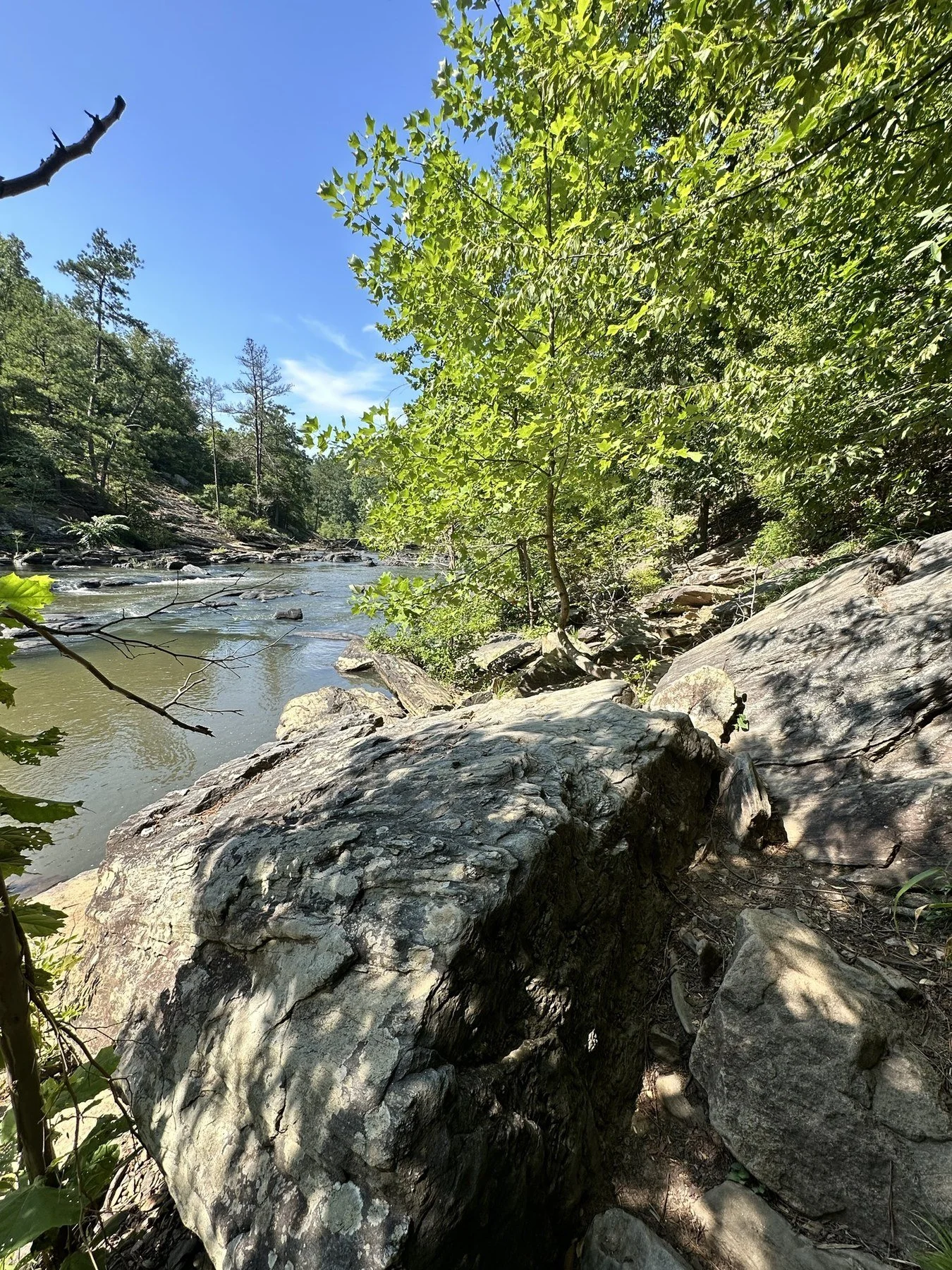
Boulders along the creek trail
White Trail: The 5-Mile Loop
The White Trail shares the creek and the mill overlook with the Red Trail, then heads away from the crowds along Jack's Branch to little Jack's Lake and the open meadows of Jack's Hill. That's where the birders go. It's 5 miles with some real hills, so give yourself 2.5 to 3 hours. Pick it when the Red Trail is packed, because once you leave the creek, the crowds thin out fast.
Yellow (East Side) Trail: Cross the Creek
The Yellow Trail crosses Sweetwater Creek on a big bridge and loops through hardwood forest on the east bank, with about 350 feet of climbing. Halfway down a ravine you'll pass a large rock overhang that Native Americans used as shelter for thousands of years. Please don't climb on it or the slope around it. In spring, the mountain laurel blooms here. In winter, with the leaves down, you can spot the old brick pits where the mill's bricks were made.
Orange and Blue Trails: The Newer, Quieter Side
The Orange Trail is a 2.3-mile lollipop that starts just past the Yellow Trail bridge, about 0.7 miles from the Interpretive Center. It climbs a few hundred feet to overlooks above the rapids, and you'll see a lot fewer people than on the Red Trail. The 1.44-mile Blue Trail branches off it into the northeast corner of the park. Add the 0.7-mile walk in and out from the Interpretive Center and the two together make a solid 5 to 6 mile day. Download the trail map before you go.
My Favorite Route
For a first visit, do the Red Trail to the ruins, keep going past the mill on the rocky section to the biggest rapids, then come back the same way. It's about 2 miles round trip and hits every highlight. For a second visit, cross the bridge and do the Yellow Trail, so you can see the ruins from the other side of the creek.
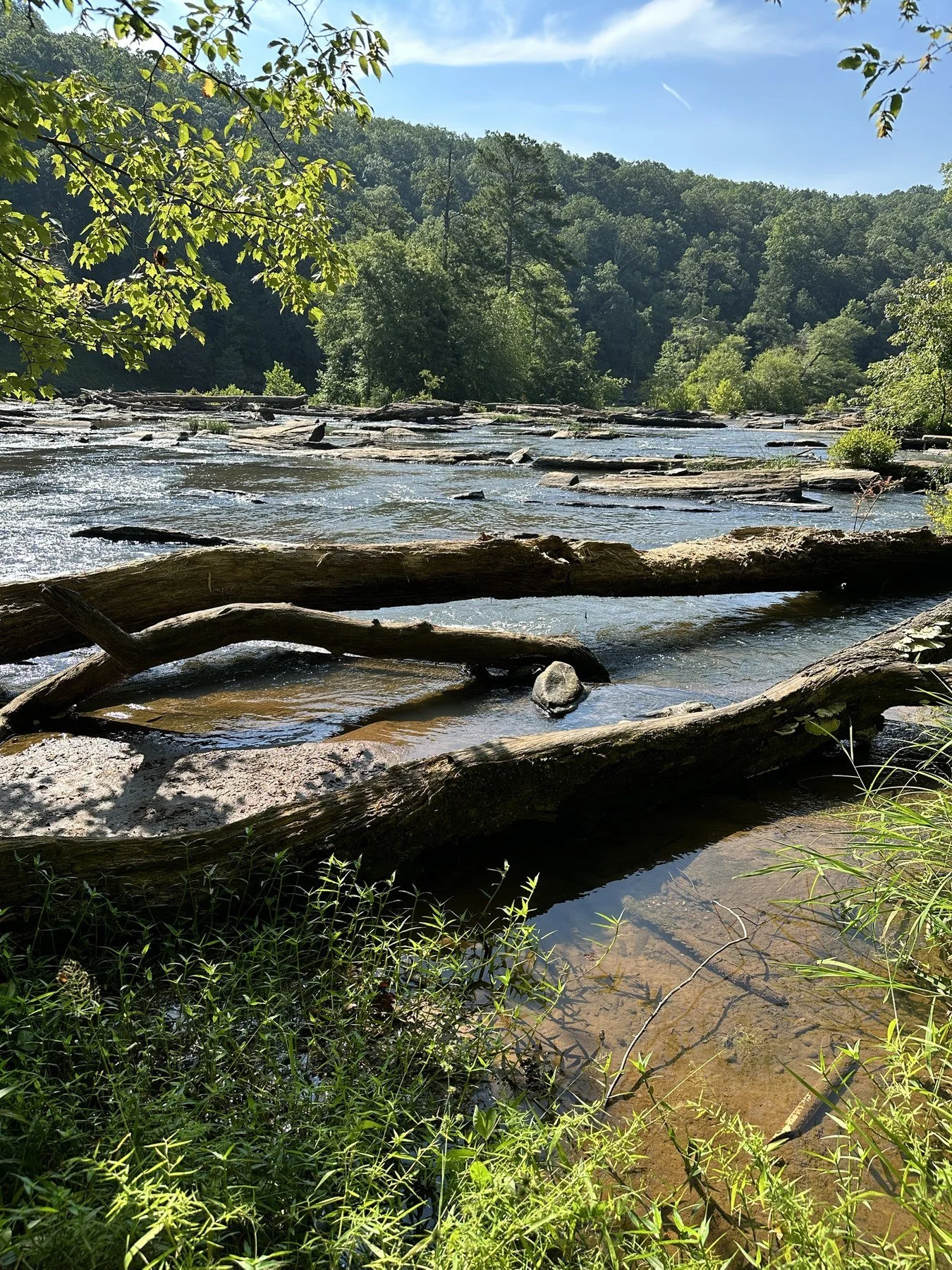
Shoals and fallen logs on Sweetwater Creek
Things to Do Besides Hiking
Paddle or Fish the George Sparks Reservoir
The 215-acre George H. Sparks Reservoir is the calm side of the park. In the warmer months, the park rents fishing boats, canoes, kayaks, stand-up paddleboards and pedal boats from the bait shop. You can also launch your own boat, but only electric motors are allowed. There's no beach, and swimming isn't allowed.
Anglers fish the lake for largemouth bass, bluegill, sunfish and channel catfish from two fishing docks or a boat. Bait and fishing supplies are sold at the bait shop, and you'll need a Georgia fishing license if you're 16 or older.
Fishing the creek? Look for the sign on the trail. Sweetwater Creek has native shoal bass, Georgia's official riverine sport fish, and they're under pressure from nonnative spotted bass. The state asks anglers to keep spotted bass, within legal size and bag limits, and release the shoal bass. Shoal bass have vertical "tiger" stripes and no tooth patch on the tongue.
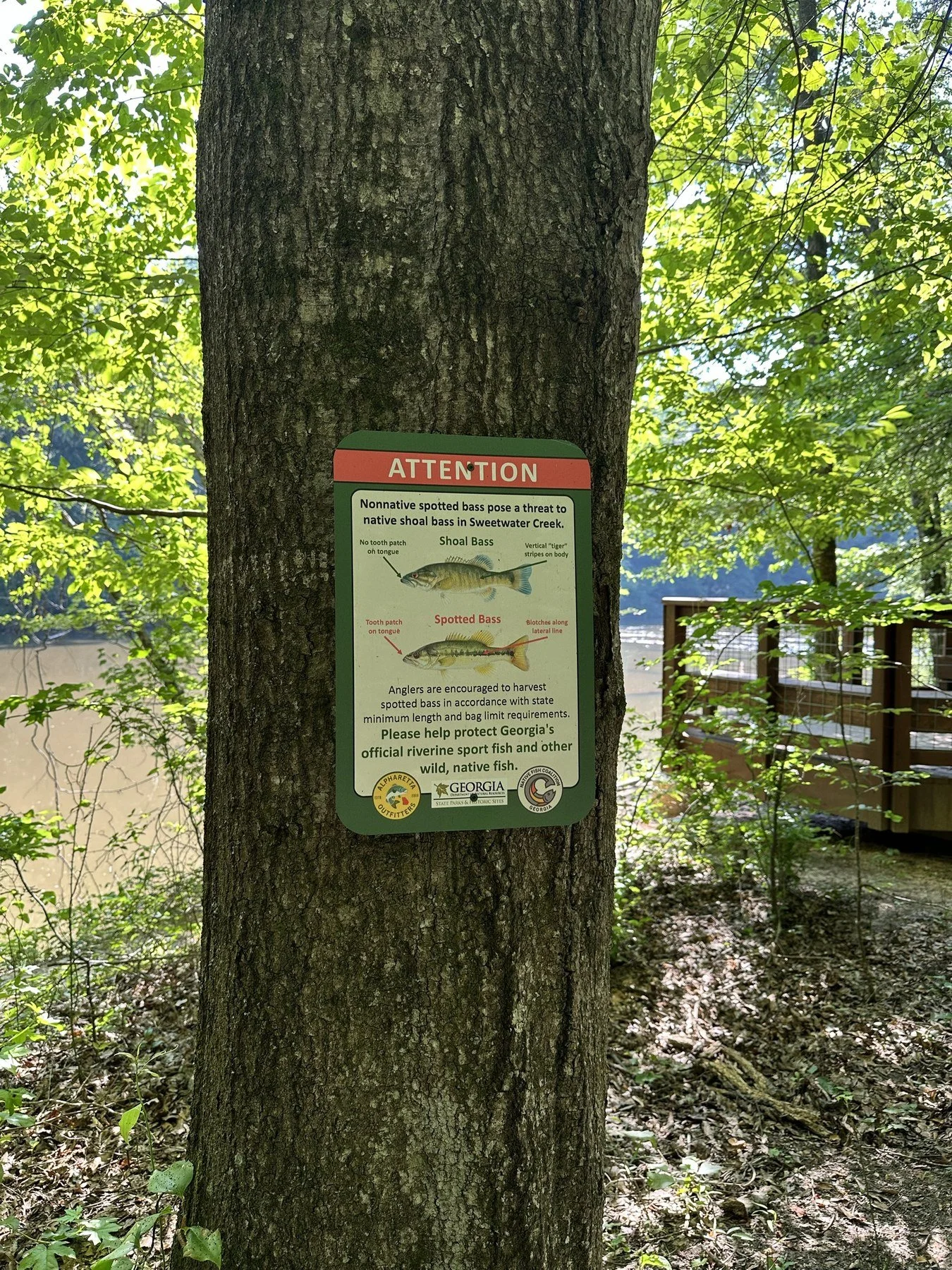
The shoal bass sign near the water
Visit the Interpretive Center
The Interpretive Center is worth 20 minutes before or after your hike. It has the museum, a gift shop, restrooms, water and snacks, plus a free history guide for the Red Trail. The building itself is unusual. When it opened, it was one of the first LEED Platinum buildings in the Southeast, with rainwater harvesting and composting toilets.
Picnic, Play and Bird Watch
There are seven picnic shelters, a group shelter for up to 150 people, two playgrounds and outdoor fitness equipment near the lake. The Jack's Hill meadows on the White Trail are one of the best birding spots in west metro Atlanta.
Camping at Sweetwater Creek: Yurts and Tent Sites
You can spend the night here, which surprises a lot of people. The park has 10 yurts and 5 walk-in, tent-only campsites. The yurts are the easiest way to try "camping" with a real bed and a roof, and they're popular, so book early through Georgia State Parks reservations at 800-864-7275. Dogs aren't allowed in the yurts. Overnight guests pay the daily parking fee once per car for the whole stay.
Is Swimming Allowed at Sweetwater Creek?
No. Swimming isn't allowed in the reservoir, and the park has no swimming area on the creek. The rapids by the mill are strong and the rocks are slick, especially after rain, so stay out of the water and enjoy it from the rocks.
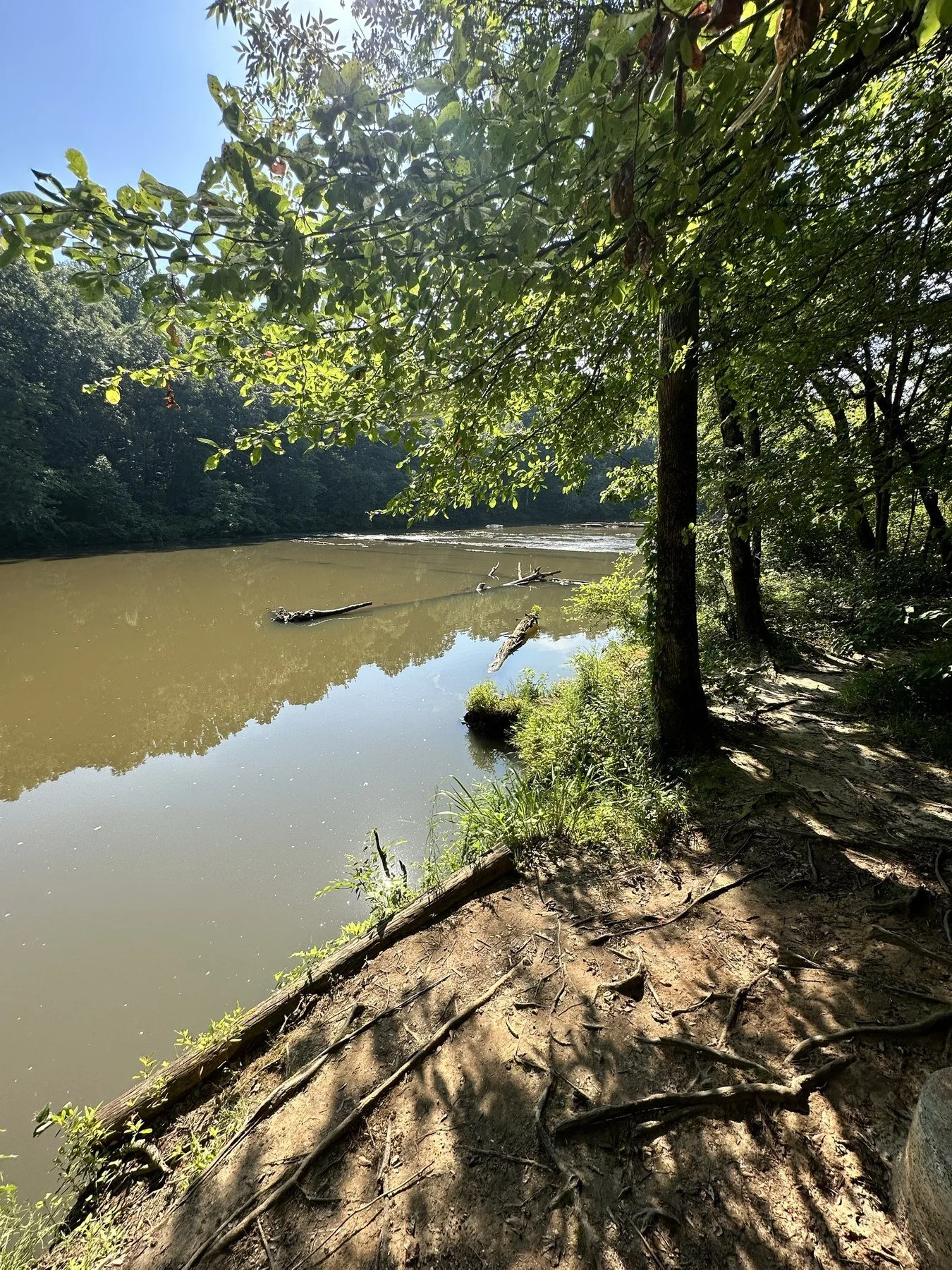
A calm stretch of the creek
Accessibility
The wide gravel path to the curved overlook deck by the ruins is the most accessible part of the park, and the deck itself is flat. Most other trails get rocky and steep quickly. The park also has an All-Terrain Georgia Action Trackchair, a tracked wheelchair built for trails, and EnChroma glasses for color-blind visitors to borrow. Call the park ahead of time to reserve the Trackchair.
Tips for Visiting Sweetwater Creek State Park
Go early or go on a weekday. On nice weekends, the main lot fills by late morning and the Red Trail turns into a sidewalk. Get there when the gates open at 7 a.m. and you'll beat most of the crowd.
Wear shoes with grip. The first half mile is easy, but the section past the mill is rocks and roots.
Bring water. There's water at the Interpretive Center, and none on the trails.
Download the trail map. Cell service is fine near the lot and spotty along the creek.
Check the creek after rain. High water makes the rapids loud and impressive, and makes the rocks dangerous. Stay back from the edge.
Best seasons: October and November for fall color, and late March through April for the mountain laurel. Summer is shady but humid, so go early.
Pay before you hike. Use the pay station or the park office, or buy a ParkPass online.
How to Get to Sweetwater Creek State Park
From downtown Atlanta, take I-20 West to exit 44 (Thornton Road). Head south on Thornton Road, turn right on Blairs Bridge Road, then left on Mount Vernon Road. The park entrance is on the right. Without traffic, it's about 25 minutes from downtown. Plug "Sweetwater Creek State Park Interpretive Center" into your map, since that's the trailhead lot for every trail.
Frequently Asked Questions
How long is the hike to the Sweetwater Creek mill ruins?
The ruins are about half a mile from the Interpretive Center on the Red (History) Trail, so about 1 mile round trip. At an easy pace, it's 15 to 20 minutes each way. The full Red Trail continues past the ruins for a total of 1 mile one way.
How much does it cost to visit Sweetwater Creek State Park?
Parking is $10 per car per day. An annual Georgia State Parks ParkPass is $70 and works at every state park.
What are the Sweetwater Creek State Park hours?
The park is open from 7 a.m. to dark. The Interpretive Center and office are open 9 a.m. to 5 p.m.
Are dogs allowed at Sweetwater Creek State Park?
Yes, on a leash on the trails. Dogs aren't allowed in the yurts or on the guided mill tours.
Was The Hunger Games filmed at Sweetwater Creek?
Yes. The New Manchester mill ruins appear in The Hunger Games: Mockingjay Part 1.
Which Sweetwater Creek trail is best?
The Red (History) Trail is the best first hike. For fewer people, try the White Trail or the Orange Trail.
Can you camp at Sweetwater Creek?
Yes. The park has 10 yurts and 5 walk-in tent sites. Reserve through Georgia State Parks.
Make It a Full Day
Sweetwater Creek pairs well with an afternoon on the other side of the metro. If you like an easy lake walk with a fishing pole, check out my guide to GB's Lake in Smyrna. For more close-to-home trips, see my Metro Atlanta outdoors guides. And if you want more state parks, start with my Georgia State Parks guide. Like hiking on granite? My Arabia Mountain and Panola Mountain State Park guides cover the east side of town, and Kennesaw Mountain has a summit trail with Civil War cannons.
Want to hike Sweetwater Creek with a group? The Explore Georgia Hiking Club runs free group hikes around Georgia, and every pace is welcome.